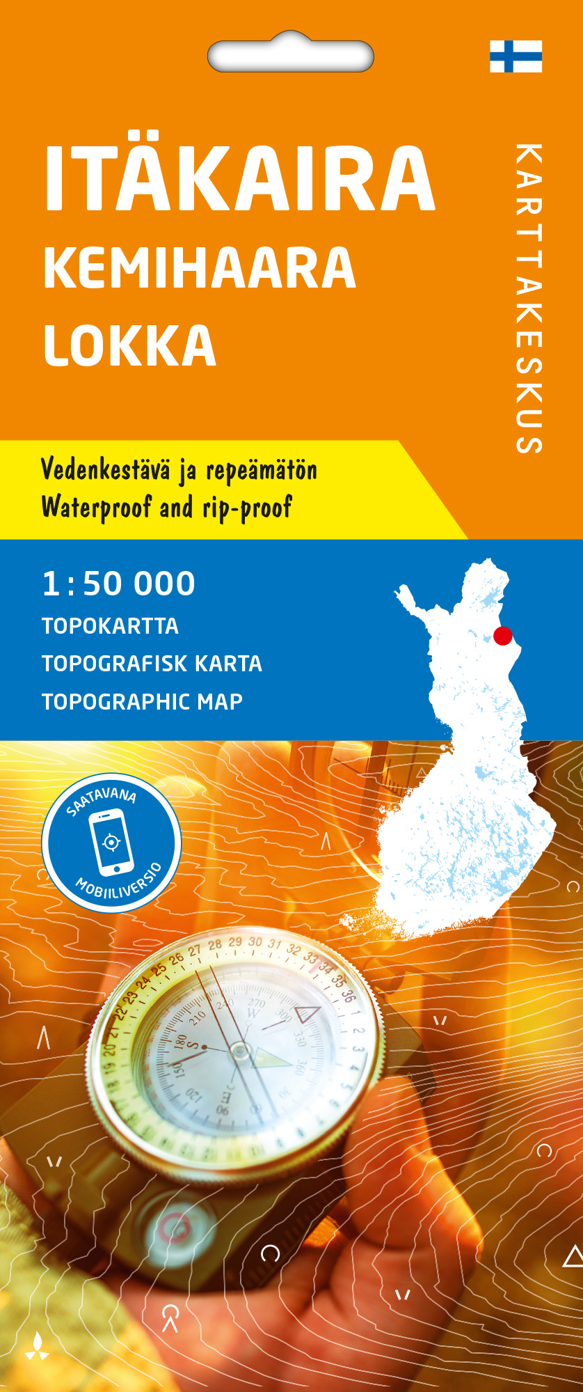
Itäkaira Kemihaara Lokka 1:50000 Topokartta Karttakeskus
22,90 €
The topo map is the best choice for hiking, fishing, and hunting in areas of Lapland where no outdoor maps have been printed and you’ve had to depend on many regular terrain maps to get around.
Availability: 7 in stock
Product Description
Itäkaira Kemihaara Lokka 1:50000 Topokartta Karttakeskus
Topocaps are waterproof and tear-resistant foldable terrain maps of Finland. The maps are resistant to wear and tear from repeated usage and folding. The data content matches to traditional paper terrain maps, and the underlying material is the National Land Survey’s terrain database.
The topo map distribution in magazines is suited to the demands of hikers. In addition, symbols indicate deserted and reserved areas on the maps, and the map content extends to the Norwegian and Swedish sides of the national border.
Itäkaira Kemihaara Lokka 1:50 000 is a two-sided map magazine that includes the Itäkaira wilderness area in Savukoski, as well as the Kemihaara wilderness area and its surroundings in the west, up to the Loka Reservoir. East Drill is a popular hiking area, and fishers and hunters visit the Nuorttijoki canyon and the Kemihaara wilderness.
Reviews
Karttakeskus
Karttakeskus is a specialized brand within the Tapio Group, focusing on maps and cartography.
Karttakeskus is renowned for its classics, including GT maps, outdoor maps, reference books, and Loisto navigation software, all of which have established themselves as leading resources in their respective fields.
The Tapio Group is actively engaged in responsible business practices, actively promoting sustainability and measures aimed at addressing climate change. The company’s operations are characterized by a deep respect for environmental values, biodiversity, and the significance of forests in the lives of the Finnish people.
