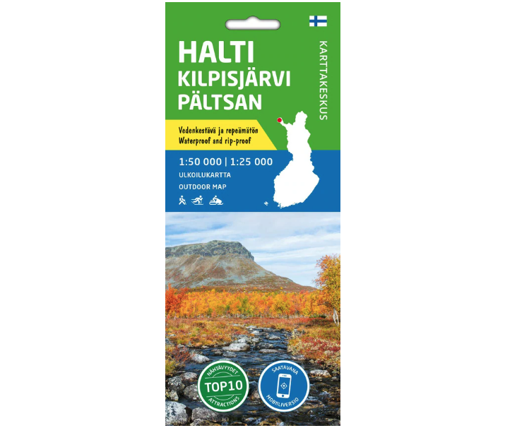
Halti Kilpisjärvi Pältsan 1:50000 Ulkoilukartta Karttakeskus
18,90 €
The map’s material is totally waterproof, can sustain practically infinite folding, and does not tear when used regularly.
Availability: 6 in stock
Product Description
Halti Kilpisjärvi Pältsan 1:50000 Ulkoilukartta Karttakeskus
The double-sided map covers the steepest mountain area in Finland at the end of Käsivarri. In the area are e.g. Excursion routes and trails around Kilpisjärvi, Malla Nature Park, all the peaks of Finland over 1000 meters and the Finnish section of the Kalottireit, along which is Halti, the highest point in Finland. To the west, the map extends to Bárrás fell in Norway and Pältsan fell in Sweden. There are also popular routes from Lake Guolasjärvi to Halti and from Didnujoki to Lake Lossujärvi.
The map’s material is totally waterproof, can sustain practically infinite folding, and does not tear when used regularly. Cold and heat have no effect on the properties. The map is soft to the touch and weights less than a printed map.
Reviews
Karttakeskus
Karttakeskus is a specialized brand within the Tapio Group, focusing on maps and cartography.
Karttakeskus is renowned for its classics, including GT maps, outdoor maps, reference books, and Loisto navigation software, all of which have established themselves as leading resources in their respective fields.
The Tapio Group is actively engaged in responsible business practices, actively promoting sustainability and measures aimed at addressing climate change. The company’s operations are characterized by a deep respect for environmental values, biodiversity, and the significance of forests in the lives of the Finnish people.
