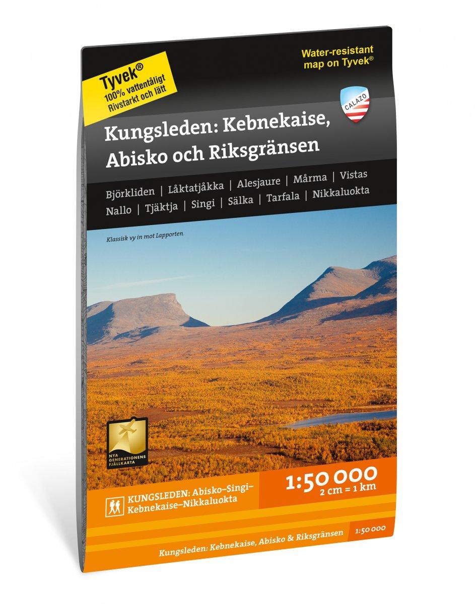
Calazo Kungsleden: Kebnekaise, Abisko & Riksgränsen 1:50.000
17,90 €
Explore the Kungsleden stretch between Abisko and Hemavan with Calazo’s 1:50,000 map series. This map offers incredible detail and accuracy, covering the northernmost and most popular stretch between Abisko and Kebnekaise/Nikkaluokta, as well as the entire mountain area between Abisko and Riksgränsen. Printed on tear-resistant and waterproof Tyvek®, this map is perfect for outdoor adventures.
Availability: 15 in stock
Product Description
Kungsleden: Kebnekaise, Abisko & Riksgränsen 1:50,000 Map
Calazo’s Kungsleden: Kebnekaise, Abisko & Riksgränsen 1:50,000 map is a part of the new generation mountain map collection, offering a wealth of detail not found in other maps of the same area. It covers the entire Kungsleden stretch between Abisko in the north to Hemavan in the south, with this map specifically covering the northernmost and most popular stretch between Abisko and Kebnekaise/Nikkaluokta.
The terrain information is based on airborne laser scanning, providing completely new height curves with an equidistance of 10 meters. Watercourses and slopes are also displayed in a significantly better way than before, along with more accurate trails, sinkholes, buildings, stony ground, and difficult-to-reach vegetation.
Made with Tyvek material, this map is completely tear-resistant and waterproof, ensuring its durability for all of your hiking needs. If you plan on continuing your hike south to Vakkotavare or to Ritsem via Hukejaure, you can supplement this map with Nikkaluokta, Ritsem & Vakkotavare 1:50,000 map.
Explore the beauty of Kungsleden with the unique and detailed Kebnekaise, Abisko & Riksgränsen 1:50,000 map from Calazo, perfect for hikers and adventurers alike.
Reviews
Calazo
Calazo is a publishing company founded by two enthusiastic hikers who embarked on their journey by creating a guidebook for downhill skiing destinations in Sweden called “Svenska Topturer” in 2004. This endeavor’s success led to the publication of “Stockholms Friluftsliv,” a guidebook for Stockholm’s excursion destinations. Encouraged by public interest and media recognition, they transitioned from their regular jobs to pursue publishing hiking books, eventually expanding their team to include writers, artists, and cartographers.
Specializing in camping and route guides initially, Calazo identified the need for more durable maps for outdoor enthusiasts. Since 2010, they have been producing maps made from Tyvek material known for its water and tear resistance. Their meticulous map development process includes data from various sources such as Metsähallitus Nature Services, aerial and satellite images, laser scanning data, and trail network information, often collaborating with experts like Professor Peter Jansson from Stockholm University. Beyond maps, their portfolio includes sports guides for activities like climbing, kayaking, and excursion skating, as well as route guides for popular European hiking destinations. They also offer educational books covering topics such as food drying, first aid, and alpine plants to aid hikers in developing their skills and knowledge.
